C-22 · Original · 2026-10-12
Wrenlow Quarry
Climbing crag guide
Climbing area guide with grades, sun times and drying times for 48 routes on six walls of a former quarry
How it was made
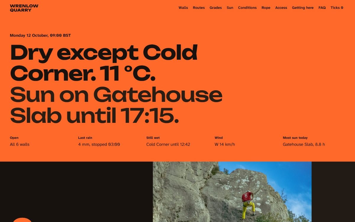
A climbing area in a disused limestone quarry in Wrenlow, a fictional town. Its six walls have 41 bolted routes and 7 trad routes.
Rope orange (#FF6A2B) covers the entire screen. Typefaces are Unbounded and Atkinson Hyperlegible Next.
The home page has a section that turns vertical scroll into horizontal movement along the path below the walls. A 640m walked-distance scale moves with it.
Wall details are topos with route lines drawn over photos. Choosing a route draws its line and shows length, bolt and rope information.
Sun hours on each wall are calculated from the sun's position at latitude 54.31° N. Entering rainfall gives the drying time.
There are also screens for grade conversion, rope length calculation, access checks by date and a ticklist.
Key features
- Selection of 48 routes (grade slider · search)
- Topo route lines · ascent check
- Sun and shade · drying · rope length calculators
- Access check by date
Where and how to use it
Fits outdoor facility guides where conditions change with weather and season. Area status, calculation tools and access restrictions are in one place.
Industries
- Climbing & trekking guides
- National parks & nature retreats
- Outdoor activity facilities
Reusable screens and features
- Scroll-driven horizontal section
- Route overlay on photos
- Condition calculator
- Availability check by date
Points to check
Weather and drying criteria are made-up values, and the time is fixed. Topo lines are not the actual climbing lines in the photos.
After reading the document
The live site opens in a new window.
Go to site(opens in new window)