C-13 · Original · 2026-10-05
Holmscar Harbour
Fictional harbor · marina
Harbor site with tide curves, 37 berths, 14 notices and fee calculation by boat length and nights
How it was made
A port and marina run by a small fictional harbor authority. The visual language is the nautical chart.
Latitude and longitude scales from a chart border run down both sides of the page, and drawings sit inside a double border.
The only color is navy ink. The three signal flag colors appear only inside the flags.
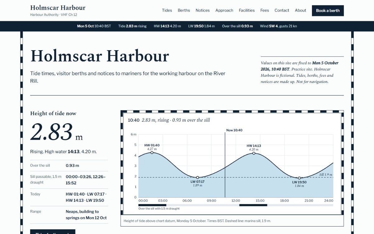
Tides are calculated with a five-constituent model. Entering a draft shows the times when the marina sill can be crossed.
Entering boat length and draft leaves only the matching berths on the plan and in the berth list.
Fees are calculated by season, length and nights, with the 7th night taken off as free. The chart and plan drawings were drawn in SVG from plotted coordinates.
Key features
- Tide curve · pointer tide reading
- Sill crossing times by draft
- Berth selection on plan
- Seasonal fee calculator · notice filter
Where and how to use it
Fits ports and piers where access hours change with the tide. Tide table, berth finder, fee calculator and notices are linked.
Industries
- Harbors & marinas
- Piers & ferry terminals
- Water leisure facilities
Reusable screens and features
- Time-of-day curve graph
- Spot selection on plan
- Fee calculation by conditions
- Notice filter
Points to check
Tides are practice model values and cannot be used for navigation. There is no booking, payment or submission, and open berths do not decrease.
After reading the document
The live site opens in a new window.
Go to site(opens in new window)